

Ukraine Maps. Part Two

Ukraine is at the latitude of Minnesota.
Ukraine has four seasons. It gets rain during the summer growing season. It has deep, rich soils. It is a breadbasket region, like the American Midwest.

In most of the world, people live where they can grow food. Note the population density map. There is dense population in eastern China, in India, in Europe, and along the Niger River in Africa.

Few people live where they cannot grow food: Deserts, the northern forests of Siberia and Canada, high altitude Tibet, the Arctic and Antarctic. There are anomalies. Ukraine is one of them, as is the American Upper Midwest and northward into Canada. They contain productive farmland with relatively low population density. Modern industrial agriculture requires less labor. Those areas export food.
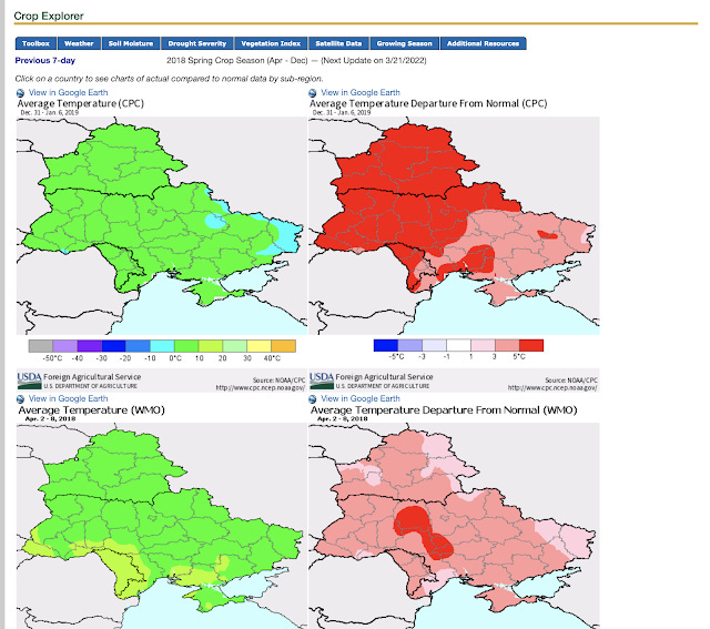
The U.S. Department of Agriculture reports current information on the temperatures, rainfall, and growing conditions of farm regions of the world, including Ukraine.
The USDA gets down to granular detail linking specific Ukraine regions to their share of the country’s production of specific exportable commodities. Ukraine is a major wheat exporter. China grows 94 Kg. of wheat per person. The U.S. grows 192 Kg. Ukraine grows 618 Kg. of wheat per person.
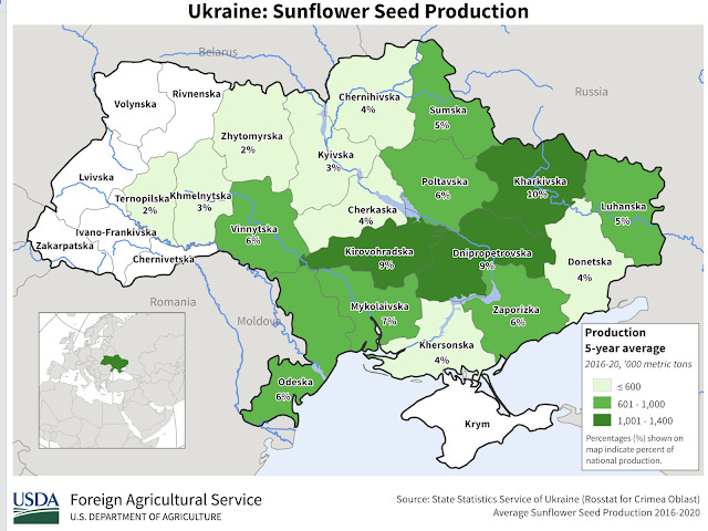
Sunflower oil is a significant vegetable oil export commodity and Ukraine is in sunflower production zone. Note that they calculate both overall tonnage and production per person. The purpose is to assist farmers and exporters in anticipating market conditions in a world market.

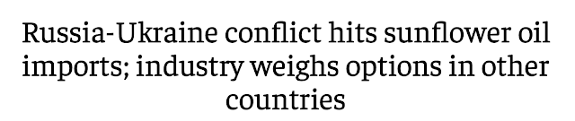
Sunflower oil may not be high in the consciousness of American readers, but it is a significant import product for India. Ukraine is their major supplier. India's English language financial journal, The Economic Times, headlines:
And this:
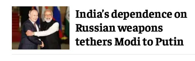
The Ukraine conflict is deeply consequential in ways that Americans think about and those we don't. The invasion is connected to everything on earth.
I will close with a final map. There is one exception to the Ukraine-as-Minnesota climate parallel: Crimea. It dangles into the Black Sea and has a quasi-Mediterranean climate, not a continental one. Crimea is the most "Russian" part of Ukraine, a part whose population appeared willingly to rejoin Russia. It is linked to the rest of Ukraine by roads and a water pipeline. It wasn't physically connected to Russia at all until recently, when Russia built a bridge at Kerch. This map colors Crimea in brown. Those are fighting words. Maybe it should be colored beige. It is a sticking point in the conflict. The fate of the world may ride on whether Ukraine and Russia can work that out.
